On July 29, a powerful 8.8 magnitude earthquake struck off Russia’s Kamchatka Peninsula, shaking the Earth and sending tsunami waves rippling across the Pacific Ocean. From Japan to Hawaii and the U.S. West Coast, alerts were issued and evacuations ordered as wave activity surged thousands of miles from the epicenter.
While tsunami warnings have since been downgraded, hazards like strong rip currents, localized flooding, and unpredictable tidal shifts still pose a threat. Events like this are a stark reminder that seismic activity, even halfway around the world, can have immediate and dangerous local impacts.
At Baron Weather, we help emergency managers, broadcasters, and coastal agencies stay ahead of fast-moving threats like this one through real-time monitoring, high-resolution marine modeling, and integrated alerting tools.
The Ripple Effect
Even after the primary threat has passed, residual impacts can endure for days. Officials continue to warn of:
- Strong and dangerous rip currents
- Unpredictable wave surges
- Ongoing seismic activity and potential aftershocks
These secondary threats may not dominate headlines, but they can still put lives, property, and infrastructure at serious risk
Technology That Turns Alerts Into Action
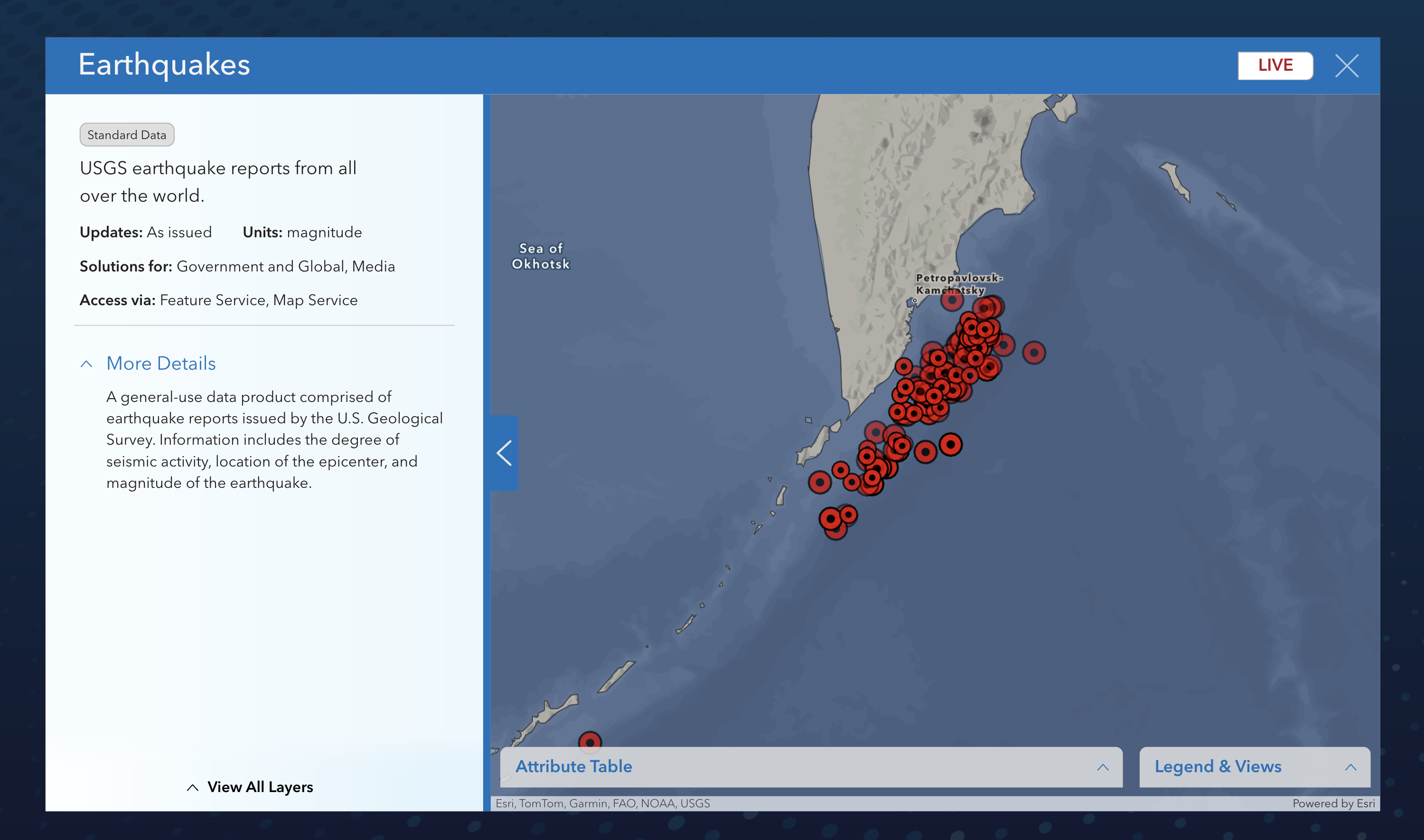
Baron delivers live USGS earthquake data as a data layer, helping users respond faster when seismic events strike. This product includes real-time reports on magnitude, epicenter location, and seismic activity from around the world. It's available across Baron Threat Net, Baron Lynx, Baron API, and is integrated directly into ArcGIS via feature and map services, ensuring decision-makers can quickly assess and act on evolving threats.

In addition to earthquake data, Baron offers a suite of tools designed to support faster, smarter decisions during fast-developing events like tsunamis and coastal flooding:
- Baron Threat Net: Real-time monitoring for alerts, wave heights, and coastal flood threats.
- Baron Lynx: A powerful, all-in-one visualization platform that delivers real-time data, custom graphics, and built-in social media sharing. Whether you're preparing internal briefings, coordinating across agencies, or informing the public, Baron Lynx empowers faster, clearer communication.
- Marine Modeling Solutions: High-resolution surge forecasts and wave simulations tailored for emergency managers, port authorities, and coastal municipalities.
- Baron API & ArcGIS Integration: Seamless access to oceanic and coastal hazard data within the systems your team already uses and trusts.
Prepare for the Next Event - Today
Extreme events like this are not only powerful, they’re often unpredictable. This historic quake also reinforces the critical reality that extreme events don’t need to happen locally to have a local impact.
With the right tools in place, you can turn risk into readiness. Explore how Baron can help you prepare for the next coastal threat here.